Uzbekistan | Khwarezm | Gyaur Qala
Sixteen miles southeast of The Zoroastrian Tower Of Silence are the ruins of Gyaur Qala, or fortress, located right on the banks of the Amu Darya River not far from the edge of the Sultan Uvays Dag Mountains.

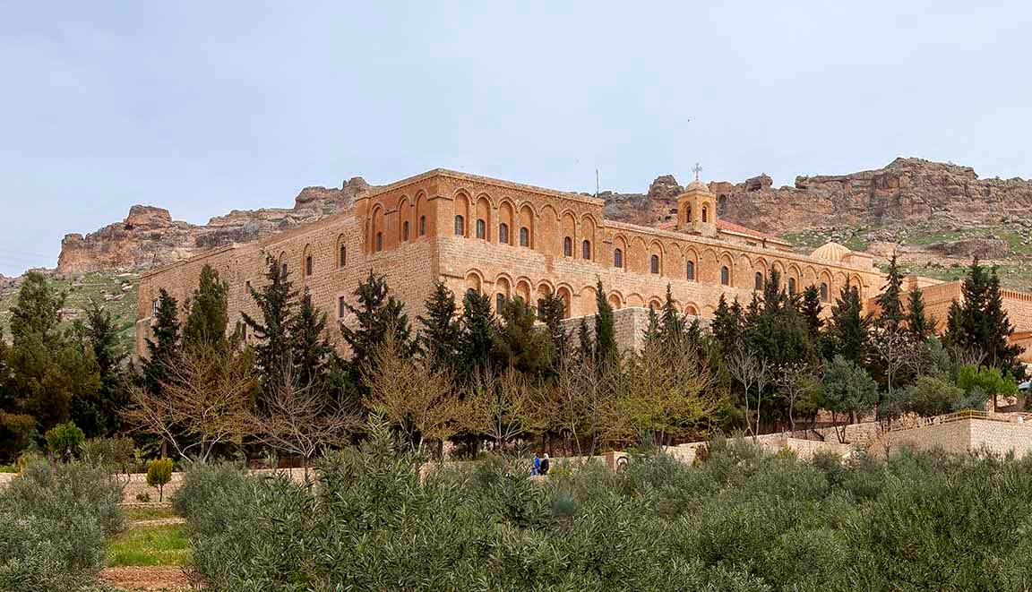
Driving through the Sultan Uvays Dag Mountains. These hills (they would not be dignified with the name mountains in Mongolia) are somewhat of an anomaly out here in the generally flat valley of the Amu Darya (click on photos for enlargements)
The founding of Gyaur Qala probably dates to about 400 BC, or roughly 2400 years ago. It was thought to be strategic stronghold guarding the important Amu Darya trade routes to and from Khwarezm, the ancient realm on the lower part of the river and its delta where it flows into the Aral Sea. Given its locale the fortress could have controlled both the land routes on the banks of the Amu Darya and the boat traffic on the river. At its prime of the two north-south trending walls of the fort measuring almost 1500 in length. The northern wall was about 650 feet long. Today only the northern wall and portions of the northwest corner remain. The nearby Janpiq Qala was supposedly sacked by Chingis Khan’s sons Chagatai and Ögedei in the winter of 1220-1221, but there is no record of them attacking Gyaur Qala. It is not at all clear when and why the fort finally was abandoned.

The Amu Darya from Gyaur Qala

Northern Wall

Northern Wall

Northern Wall

Northern Wall

Northern Wall

Northern Wall

Northern Wall

Northern Wall

Northern Wall

Northern Wall

Northwest corner

Northwest corner and northern wall

Northern Wall

Northwest corner and northern wall

Northern Wall

Exterior of northwest corner