Mongolia | Aral Sea | Turkey | Istanbul
Threw my Airbook, Kindle, and a camera into a bag and wandered off to Istanbul. I figured I could buy toiletries and whatever extra clothes I needed when I arrived in the city. The Turkish Airlines Boeing 737-900 ER lifted off from Chingis Khan Airport in Ulaanbaatar at exactly 12:49 p.m. The flight was completely sold out. I always enjoy the flight from Ulaanbaatar to Istanbul via Bishkek. The flight path follows much the same route as the old Silk Road and passes over numerous Silk Road cities that I have had the privilege of visiting. On clear days the flier is presented with a fascinating panorama of the deserts and mountains of Inner Asia.
Unfortunately I would not be seeing much today. We encountered cloud cover just outside of Ulaanbaatar that stayed with us until the approaches to Bishkek. I was disappointed that I could not see the Tian Shan, to my mind the most noble of all the world’s mountain ranges. Oh, I know that some people rave on about the Himalayas, the Karakorams, and the Pamirs, and even the Alps in Europe, the Andes in South America, and the lowly Rockies in North America have their partisans, but for me the Tian Shan represent the ideal of mountains. They are the mountains of my dreams. I mean this quite literally. I first time I ever saw them looming about the deserts of the Zungarian Basin I realized that I had in fact seen them many times before in my dreams dating back to when I was a small boy .
We touched down in Bishkek, capital of Kyrgyzstan, at 4:49 p.m. UB time, exactly four hours after leaving Ulaanbaatar. Passengers are required to get off the plane and take all their carry-on luggage with them while the plane is refueled. The transit lounge is a long hallway lined with duty free shops, with heavy emphasis on hooch and perfume. Perhaps of most interesting thing for sale is what purports to be Kyrgyzstan honey. Now we are the only flight in transit. On the return leg of the Istanbul–Ulaanbaatar flight, when the plane stops at Bishkek at around three in the morning, the transit lounge is a beehive of activity with passengers from all over Inner Asia waiting for their forward flights.
The plane lifts off from Bishkek at 6:03 p.m UB time, for a layover of one hour and fourteen minutes. It’s another 2337 miles to Istanbul, with an estimated flight time five hours and fifteen minutes. Although there had been clear skies on the approaches to Bishkek we soon encountered cloud cover again. After two hours or so the clouds suddenly disappeared, and down below, just off to the south could be seen the remnants of the Aral Sea.

Our flight path over the Aral Sea shown in red. The southern shore what is now the Northern Aral Sea could be seen directly below as we flew over. When this photo was taken when the eastern lobe of the Southern Aral Sea (in light green-blue) still appears to have some water in it.
Fed by the Syr Darya and Amu Darya, two the greatest rivers of Inner Asia, the Aral Sea was once the fourth largest inland sea, or lake, in the world ((26,300 square miles), after the Caspian Sea (saline), Lake Superior (fresh water), and Lake Victoria (fresh water). Starting in the 1950s huge amount of water from the Amu Darya and Syr Darya were siphoned off for irrigation projects in what was then the Soviet Union. The lake began shrinking and by the first decade of the twentieth century it had been reduced to about one-tenth of its original size. Some have termed this the biggest ecological disaster in recorded history, although because it occurred in a part of the world that relatively few people knew or cared about it has not received a lot of publicity.


Map of the Aral Sea dating to 1853
After water levels dropped the Aral Sea split into four separate lakes: the north Aral Sea; two separate basins of what was once the southern part of the Aral Sea, and a small lake between the north and south portions. In August 2014 it was recorded that for the first time in modern history the eastern basin of the southern part of the sea had completely dried up, leaving only three lakes. This now dry eastern basin is now called the Aralkum Desert. See Aral Sea's Eastern Basin Is Dry for First Time in 600 Years.

Before and after satellite photos of the Aral Sea. The photo on the right, taken recently, appears to show the eastern lobe of the Southern Aral Sea completely dried up.
We fly right over the southern shore of the northern lake. Off to the south can clearly be seen the elongated western lobe and the now dry eastern lobe of what was once was once the Southern Aral Sea. Several Mongolians pulled out smart phones and iPads and began taking pictures of what remains of this once great sea. It is indeed a sobering sight. The drainage system of the Aral Sea—the Amu Darya and the Syr Darya—ranks with the valley of the Nile and Mesopotamia as the birthplaces of civilization. Egypt and Iraq remain in the headlines, but the drainage of the Aral Sea, the core of Inner Asia, has in large part been forgotten. It remains the linchpin between China and Europe, however, and could play an ever-increasing role in world affairs as the twenty-first century progresses. The Wild Card is Global Warming, and what effect it might have on the already fragile water resources of the region. See Central Asia Must Unite to Revive the Aral Sea.
Usually this flight goes right over the middle of the Caspian Sea, the largest land-locked sea or lake in the world, but for some reason we now fly directly over its northern shore. I try in vain to spot Astrakhan, certainly one of the most charming cities in Russia, located on the Volga River near where it flows into the Caspian Sea.
Soon we encountered cloud cover again and it did not clear until we were over the Black Sea about an hour out of Istanbul. The plane soon veered south over the eastern end of Anatolia and out over the Sea of Marmara, where the Prince Islands could be seen directly below. We touched down in Istanbul at 11:20 p.m. UB time (5:20 p.m. Istanbul time), for a total flight time of ten hours and thirty-one minutes. The distance was 5728 miles. There was no one in line at the Express Immigration Lane (I was flying Business, which allowed me to use the Express Lane), and I had to wait only thirty seconds for the train to the Zeytinburnu metro station where I caught the M1 Metro to the downtown area. Soon the Theodosian Walls loomed up on ahead. As the incomparable John Julius Norwich points out in Volume 1 of his magisterial three-volume history of the Byzantine Empire, Byzantium: The Early Centuries:
It is one of the clichés of Constantinople [Istanbul] that it should, ideally, be approached by the sea. Only then, we are told, can the uniqueness of its geographical position be properly appreciated, to say nothing of that famous skyline of dome and minaret which has symbolized, for as long as any of us can remember, the Mysterious East. With this opinion we cannot easily disagree; but, for those of us on whom Byzantium will always cast a more powerful spell than Islam, there is another approach every bit as satisfying and very nearly as spectacular. No one, surely, whose first arrival has been by road from Edirne, can ever forget that first astonishing sight of the Land Walls, looming up from the surrounding plain . . .

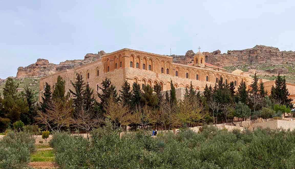
Theodosian Land Walls near Topkapi Gate
Being a land man myself I tend to agree with Viscount Norwich. The three mile-long Theodosian Land Walls, built in the fifth century, are one of the world’s great historical monuments, and I always experience a certain frisson of excitement when seeing them again after an absence of several months. Anyhow, my hotel is just inside the land walls. I got ready to get off at the Pazartekke metro stop, the closest to my hotel, but inexplicably the train just went by the stop without stopping. What fresh hell was this? I wondered. Surely the train driver could not have just forgotten to stop. I got off at the next stop and took the metro back the same way. Again we whizzed by the Pazartekke stop, but this time I noticed yellow tape blocking the entrances. Apparently it was closed for some reason. So I get off at the first metro station outside the walls and start hoofing it back. A four-lane freeway runs parallel to the land walls, but fortunately there is a pedestrian overpass leading directly to the Topkapi Gate. So I am able to enter Istanbul on foot via the historic Topkapi Gate instead of via the more mundane metro line. Attila the Hun (r. 434–453) once tried to enter Constantinople (Istanbul) via this gate, but was repulsed and finally had to give up altogether his investment of the city.


The historic Topkapi Gate
I receive a friendlier welcome. Just inside the gate the proprietor of a tea shop waves at me. I often have tea here in the morning when I stay in this neighborhood. Further down the street two shopkeepers greet me. A man on the street stops and stays in English, “Welcome back!” The waiter at the corner restaurant, where I often eat, is outside having a smoke and he gives me a polite nod. I feel like Jason returning from the Wars.
The receptionist at my hotel doesn’t speak English (it’s one reason I stay at this place); he just smiles and hands me the key to my room, which is the same room I have had the last ten or more times I stayed here. I pay in cash and he doesn’t bother asking for ID. So I am back in Istanbul.